
Garner ZIP Code Areas and Mail
Postal delivery codes are created by USPS, not Town or county boundaries. For Garner, 27529 is the primary mailing ZIP. Other codes appear in the surrounding postal and Census geography, but they must be verified by the exact address. The difference matters: a mailing city can be Garner, Clayton, or Raleigh while the parcel is in a different jurisdiction or county.
| Postal code | Areas covered | Post-office or city line | Garner research note |
|---|---|---|---|
| 27529 | Most Garner delivery area, plus nearby unincorporated and shared areas | Garner | Primary Garner mailing ZIP; Johnston County calls it mostly Wake County and shared across counties |
| 27520 | Eastern and southeastern Garner-area edge with Wake and Johnston overlap | Clayton / Archers Lodge | Verify county, corporate limit, and ETJ before opening a record |
| 27603 | Western and southwestern fringe associated with Garner-area geography | Raleigh / McCullers | Use the exact address and iMAPS jurisdiction; a Raleigh mailing city is not conclusive |
| 27610 | Nearby northern or eastern boundary context | Raleigh | Use only when USPS returns it for the address, not as a standard Garner ZIP claim |
The Wake County ZIP-boundary dataset describes USPS boundaries maintained by the Wake GIS Addressing Team. It is helpful for countywide boundary context, while USPS remains the route for confirming one mailing address.
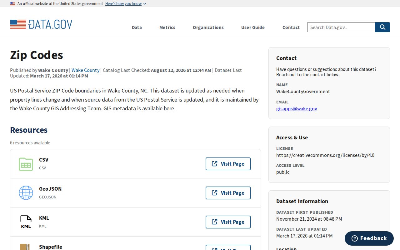
The dataset description reinforces why a map boundary is useful context, but the final postal ZIP still belongs to the recognized street address.
Garner ZIP Code 27529
Use 27529 as the primary Garner mailing ZIP, then verify the address before making a records decision. The code covers most of Garner but continues outside corporate limits into unincorporated and neighboring areas. Johnston County’s official ZIP guidance identifies 27529 as “Garner (Mostly Wake County)” and warns that ZIP boundaries cross county lines. That warning matters in southern and eastern Garner-area searches, including mailing addresses that may be associated with Cleveland or Johnston County.
A post-office label should therefore be treated as a delivery label. It does not decide Town taxes, voter precinct, court county, permit jurisdiction, or which Register of Deeds holds a deed. Pair 27529 with an address check, a Wake parcel result if the property is in Wake County, and the iMAPS jurisdiction field.
Note: A primary mailing ZIP narrows a search, but it does not identify the government office that has the underlying property or voter record.
Garner Postal Overlap Areas
The Census profile associates the Garner place with ZCTAs 27520, 27529, and 27603. A ZCTA is a Census statistical area built around ZIP geography, so that association signals overlap rather than a promise that every address in the Town uses those codes. The research found no authoritative proof that 27520 or 27603 serves every current Garner corporate-limit area. Describe them as surrounding or overlapping possibilities and verify each address.
Johnston County’s ZIP guidance says the area south and west of 27610 is 27529 and the area east of 27529 is 27520. It also warns that several mailing codes cross county lines. A search that begins with 27520 or 27603 needs an early county check, because Wake systems cannot supply a Johnston parcel or deed record and a Garner mailing name does not override the legal location.
Verify Garner ZIP Code Addresses
The USPS Address Lookup is the first tool for a final mailing check. Enter the street address, city, and state. When USPS recognizes it, the result provides a standardized address and ZIP or ZIP+4. USPS may adjust a street suffix, directional, or city line. Keep that standardized result with the original address so that later parcel, deed, and voter searches can be compared rather than silently changed.
| USPS input or result | What it does | What it does not establish |
|---|---|---|
| Street address | Identifies the delivery location for normalization | Parcel ownership or municipality |
| City and state | Helps USPS resolve the mailing address | County or planning jurisdiction |
| Standardized address | Supplies the USPS-formatted mail line | Whether the location is inside Town limits |
| ZIP or ZIP+4 | Supplies the recognized delivery code | A household, parcel, voter precinct, or court county |
After USPS verification, use Wake County-Raleigh iMAPS to check a Wake parcel’s jurisdiction and use Wake County Real Estate Search for its owner, situs, tax, or deed-reference fields. Do not reverse that order by treating a ZIP as a parcel identifier.
Find Garner Residents by ZIP Code
ZIP-based searching in Garner is mostly a routing task, not a live all-residents search. Normalize one address through USPS, establish the county and jurisdiction, and then use the record system that matches the question. The Wake assessment and iMAPS tools are address, owner, REID, and PIN tools. The Register of Deeds is a party, date, book, page, and document-type index. None advertises a public ZIP filter. That limitation protects against a broad result being mistaken for a complete resident list.
- Enter the complete mailing address in USPS ZIP Lookup and save the returned ZIP or ZIP+4.
- Check iMAPS for the parcel’s county and planning jurisdiction. If the parcel is outside Wake County, switch to the proper county’s records.
- For a Wake property, search the address in Wake Real Estate Search and record the situs address, REID, PIN, owner of record, and deed reference.
- For a person-specific registration question, use NCSBE Voter Search by name, Wake County, and status. The public form has no ZIP field.
- Use the party and document details from the parcel record in the Wake Register of Deeds index when a recorded ownership trail is needed.
Once a ZIP points to a confirmed street and parcel, the Garner street directory supplies the street-by-street method. A ZIP alone is too broad for that task.
Garner Mailing Search Limits
Each official system has a distinct ZIP limitation. Wake Real Estate Search does not display a ZIP field in its visible form. iMAPS supports address, street, owner, PIN, and REID searches rather than an advertised ZIP filter. Garner SmartGov showed parcel search and reports or documents in the research crawl, but no verified ZIP filter. The Wake deed index is countywide and uses parties and recording details. Convert an address to its county and legal parcel first.
| Official route | ZIP capability in the research | Best use |
|---|---|---|
| USPS ZIP Lookup | Address returns standardized ZIP or ZIP+4 | Mailing verification |
| Wake Real Estate / iMAPS | No verified public ZIP filter | Address, owner, REID, PIN, and parcel jurisdiction |
| Wake ROD | No ZIP filter | Party, date, book or page, and instrument search |
| NCSBE Voter Search | No ZIP field on the public form | Name, county, status, and registration check |
| NCSBE public data | Wake County ZIP download route | Current public-file and registration-statistics route, subject to file format and redactions |
Note: Do not describe an unverified portal filter as available; the research specifically found no public ZIP-search control for several Garner record systems.
Check Garner County Before Records
A Garner postal address can be outside the Town, in the extraterritorial jurisdiction, or across the Wake and Johnston county line. A Johnston County record does not appear in Wake property data, Wake ROD, or Wake elections merely because the postal city says Garner. Check the county after USPS verification, then use the parcel’s iMAPS jurisdiction before choosing a planning, tax, voter, or deed office.
Garner’s ETJ generally extends up to three miles outside the corporate limits. ETJ residents receive most public services from Wake County and pay county property taxes, while Garner administers specified zoning, subdivision, floodway, and building-code functions. That split explains why the correct property or planning record can depend on more than the directory’s mailing line.
Garner ZIP Code and Town Limits
Postal, Census, Town, and county geographies overlap but are not interchangeable. A 27529 address can sit outside the Town. A 27603 or 27520 mailing line can be associated with the Garner-area geography without being inside Town limits. Districts for permits, property taxes, courts, elections, utilities, fire service, and schools use their own boundaries. Do not use a mailing code alone to decide one of those questions.
- Postal code
- A USPS delivery code that organizes mail service, not a municipal boundary.
- ZIP+4
- An added delivery detail for a segment of mail service, not a parcel or household identifier.
- PO-box ZIP
- A code used for post-office boxes; it does not establish a physical residence or parcel location.
- Unique ZIP
- A delivery code assigned to a single organization or large recipient, when USPS designates one.
- Carrier route
- A mail-delivery sequence used by USPS; it is not a government jurisdiction line.
Garner ETJ After ZIP Checks
ZIP verification should be followed by an iMAPS jurisdiction check, especially for an address in an outer subdivision or an unincorporated pocket. The parcel map can show the county, planning jurisdiction, parcel boundary, and layers relevant to zoning or flood questions. It is the bridge between the postal address and the office that will actually hold a planning or property record.
Garner’s local geography includes Downtown and Main Street, the US 70 and NC 50 corridor, White Oak, Aversboro Road, Jones Sausage Road, Lake Benson, White Deer Park, and outer ETJ subdivisions. Those place names can help locate an address, but the parcel and jurisdiction fields remain the deciding evidence when the mailing city and Town line do not match.
Garner ZIP Code Voter Data
The NCSBE voter-registration data page offers public files and registration statistics, including a Wake County ZIP download route. Its files can contain registration status, party, address, county, precinct, district, and statistics fields. They are a data route, not a street-by-street public web form and not a complete list of people who live in a mailing area. File names and direct download links can change, so use the current route on the state page.
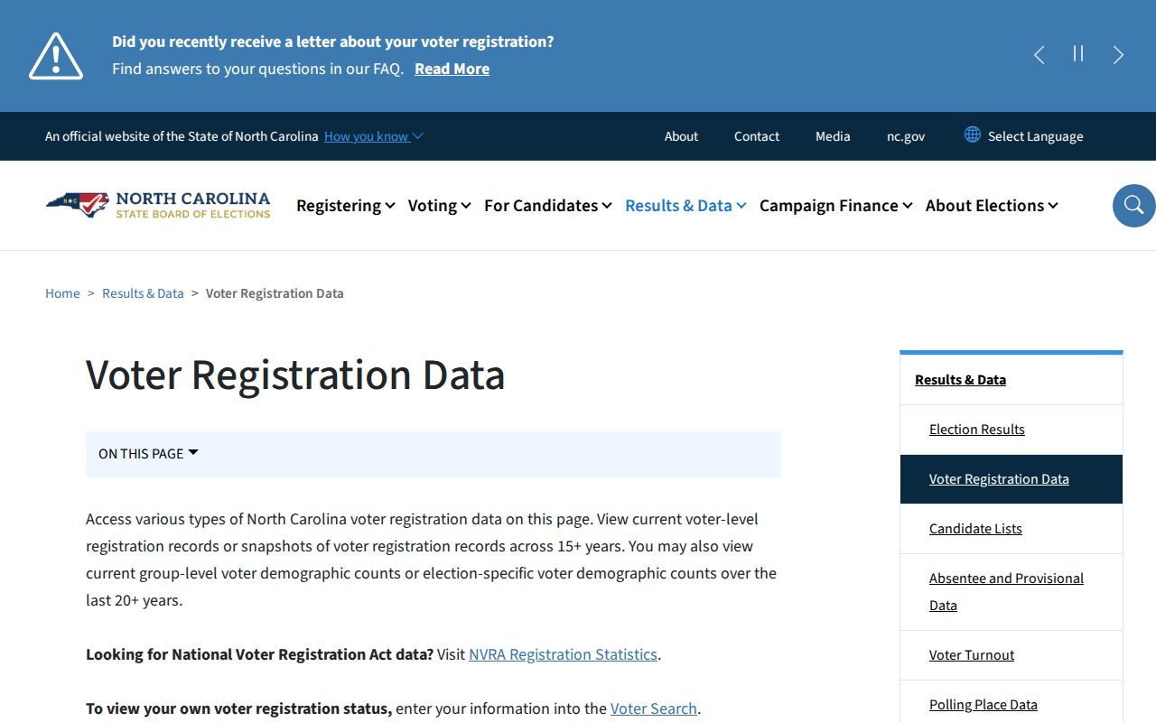
The state data route is useful after county and address checks, but the public fields must still be read with their registration and redaction limits in mind.
NCSBE voter-registration privacy guidance explains that some registration information is public while full or partial Social Security numbers, dates of birth, driver-license numbers, certain registration-agency information, and protected addresses are not. A signature may be viewed in person but cannot be copied or traced. A voter’s address is a registration record, not proof of every person at a property.
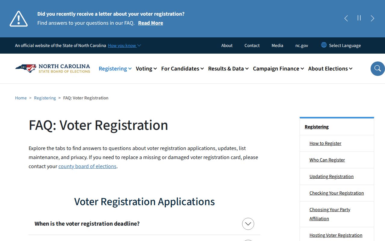
Protected voter addresses and North Carolina Address Confidentiality Program protections remain outside ordinary ZIP searching, even if another public record has a similar mailing label.
Note: Use public voter data only for lawful personal research and never to expose protected information or harass another person.