
Garner Previous Residents by Record Era
One source rarely carries the full story of who lived here before. Wake property tools identify the present parcel. The Register of Deeds links recorded parties and legal land descriptions. Regional city directories can name an occupant or firm at an address, and census, church, obituary, probate, permit, and survey records can help explain the spaces between them. Use the records in date order, but retain the parcel identifiers as the stable thread.
| Source | Years it covers | Where held | What it shows |
|---|---|---|---|
| Wake ROD legacy index | July 1785 through April 17, 2025 in the legacy notice | Wake ROD online route, counter, or written request | Recorded parties, instrument type, book and page, record date, and legal description |
| Wake Real Estate and iMAPS | Current data; portal start date not stated | Wake County web portals | Current owner, situs and mailing address, REID, PIN, jurisdiction, and deed reference |
| Garner permit tools | Legacy lookup before February 2024; SmartGov after | Garner portals | Address-linked development, construction, inspection, and certificate clues |
| Raleigh and Wake directories | Verified catalog runs from 1880-1881 through later annual volumes, with gaps | Olivia Raney Local History | Historical household, street, occupation, and directory notation |
| Federal census | 1790-1950 public; 1960 opens in 2032 | NARA, Census, and FamilySearch | Household composition, relationships, age, occupation, and enumeration geography |
| Historic property surveys | Files since the early 1970s | State Historic Preservation Office | Photographs, sketches, interviews, field notes, and research notes |
Begin with the current parcel even when the desired period is old. A parcel number, legal description, lot and block, or map book reference travels through time more reliably than a modern street number. A directory entry or census household must then be matched to that same land through date, street, neighbor sequence, or deed evidence.
Anchor Garner Previous Residents to a Parcel
Wake County Real Estate Data and Wake County-City of Raleigh iMAPS are the present-day starting points. Capture the normalized situs address, current owner, mailing address, REID, PIN, subdivision or lot, deed book and page, and planning jurisdiction. The situs address identifies the parcel; the mailing address is tax correspondence and does not prove where an owner lives.
Keep the tax-card information beside the iMAPS result because each can expose a field or link the other does not. iMAPS also adds parcel geometry and jurisdiction. That distinction is important around Garner's extraterritorial area, where county and town responsibilities do not always match a postal place name. A saved result is useful because public fields and links can change after a reassessment or portal update.
Note: A present tax owner is a starting point for a past-residents search, not evidence of every person who has lived at the address.
Garner Previous Residents and Wake Cutoffs
The Wake Register of Deeds legacy search notice says recorded documents from July 1785 through April 17, 2025 are viewable through that route. Wake launched a new Land Records application on April 21, 2025. Treat the transition as a routing issue. Check the current application for documents after the legacy cutoff instead of describing the older screen as a complete current index.
The legacy index is a locator, much like a library card catalogue, rather than the deed itself. Its visible controls include document type, grantor, grantee, date range, book, and page. At least one of grantor, grantee, date range, or book and page is required. Search individual names last name first name, try fewer characters where useful, and check spelling variants. The Wake ROD also offers counter help and a recorded-document request form when a search needs support.
Trace Garner Past Owners Through Wake Deeds
Use the current deed reference to open the vesting deed, the deed by which the present owner took title. The grantee is normally the buyer and the grantor is the seller. Read the instrument itself and copy the legal description, subdivision, lot or block, restrictions, easements, prior references, and recording date. Then search the seller as an earlier grantee, using the land description and map reference to make sure the chain stays on the same parcel.
- Save the current parcel identifiers and current deed book and page from Wake Real Estate Data or iMAPS.
- Search the current owner as grantee in the Wake Register of Deeds and open the vesting deed image.
- Record the seller, legal description, lot or block, map references, and any prior book and page named in the document.
- Search that seller as an earlier grantee and compare the description before adding another link to the chain.
- Classify each filing as a conveyance, security instrument, map, lien, release, or administrative record, then repeat only where the parcel match holds.
- Grantor and grantee
- The grantor transfers an interest; the grantee receives it. Their roles can change from one deed to the next.
- Chain of title
- A documented sequence of recorded ownership transfers for the same land, checked through instruments rather than name matches alone.
- Legal description
- The lot, block, subdivision, metes-and-bounds, or map-based description that identifies land more reliably than an old street address.
Deeds of trust, releases, liens, powers of attorney, plats, and foreclosure papers may explain a date or name without transferring ownership. A formal title conclusion requires a title company or attorney. For family history, the instrument can still provide a carefully dated lead.
Note: Keep the legal description beside each deed result, because a common name alone is not enough to establish the same parcel.
Garner Previous Residents Beyond Street Numbers
A failed address search is not proof that the household or parcel disappeared. Garner's older material can use Garner's Station, railroad references, Holloman's Road, church and crossroads descriptions, subdivisions, or rural legal descriptions. Research did not establish an official town-wide renumbering year. Search the old town name, road or church name, grantor and grantee, map book, lot and block, and nearby parcels instead of relying on a modern number alone.
Garner's history helps date those search terms. It incorporated as Garner's Station in 1883, lost its charter in 1891, and was reincorporated as Garner in 1905. Historic descriptions may follow the railroad and Central Highway corridor instead of present address conventions. An annexation ordinance or recorded map can also bridge a modern parcel to the date when town jurisdiction changed.
Myth. A modern address is not the permanent key to an old deed. The legal description and recorded map can keep the Garner parcel identifiable when the street wording changes.
Garner Previous Residents in Directories
Property ownership is only one layer. The Wills-Smith criss-cross and cross-reference titles at Olivia Raney Local History can point from an address or street to a listed person or firm, then the alphabetical portion can confirm the entry. Regional Raleigh and Wake directories may include Garner or Garner's Station, but their coverage varies. The full shelf, publishers, and access details are collected with the Garner city directories.
Pair each directory date with the census schedule nearest in time. The public 1930, 1940, and 1950 censuses can add household relationships and age, while a directory can narrow the interval between census years. Follow the street sequence, spouse notation, occupation, and neighbor order with care. An entry may describe a boarder, family member, or business connection rather than a full household.
- Find the address in a reverse or criss-cross section when the volume supplies one.
- Confirm the person in the alphabetical section and save the publisher, year, page, printed address, and notation.
- Check surrounding directory years for a move, changed spelling, adult child, widow notation, or new firm.
- Compare the closest public census and then use an obituary, probate file, church record, or newspaper to explain an endpoint.
For original Wake series that are not online, the North Carolina State Archives county-records guide routes researchers to land, estates, courts, census, tax, and vital-record groups.
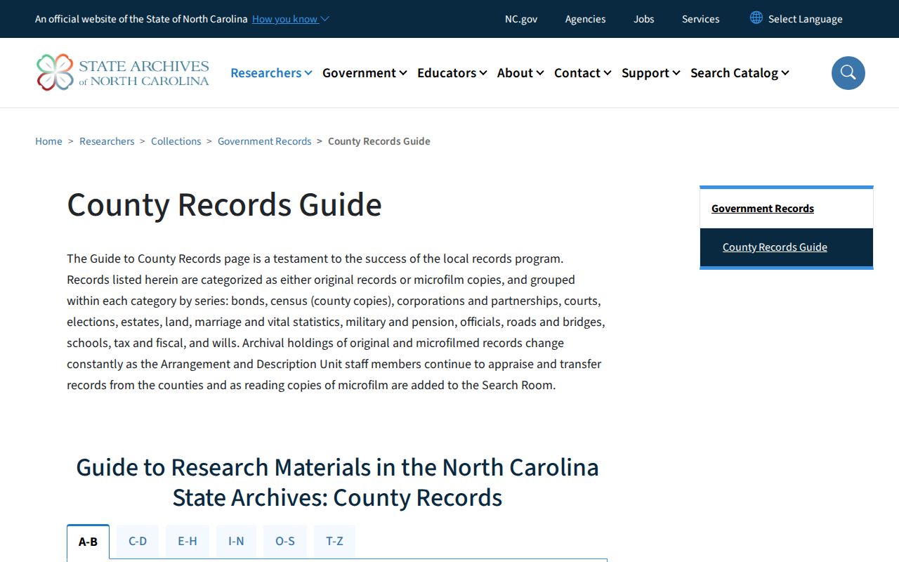
The Archives guide reinforces the fallback chain when an online name search ends: compare the county deed trail with original or microfilm series, then use the library and archive materials that match the date.
Garner Permit Eras and House History
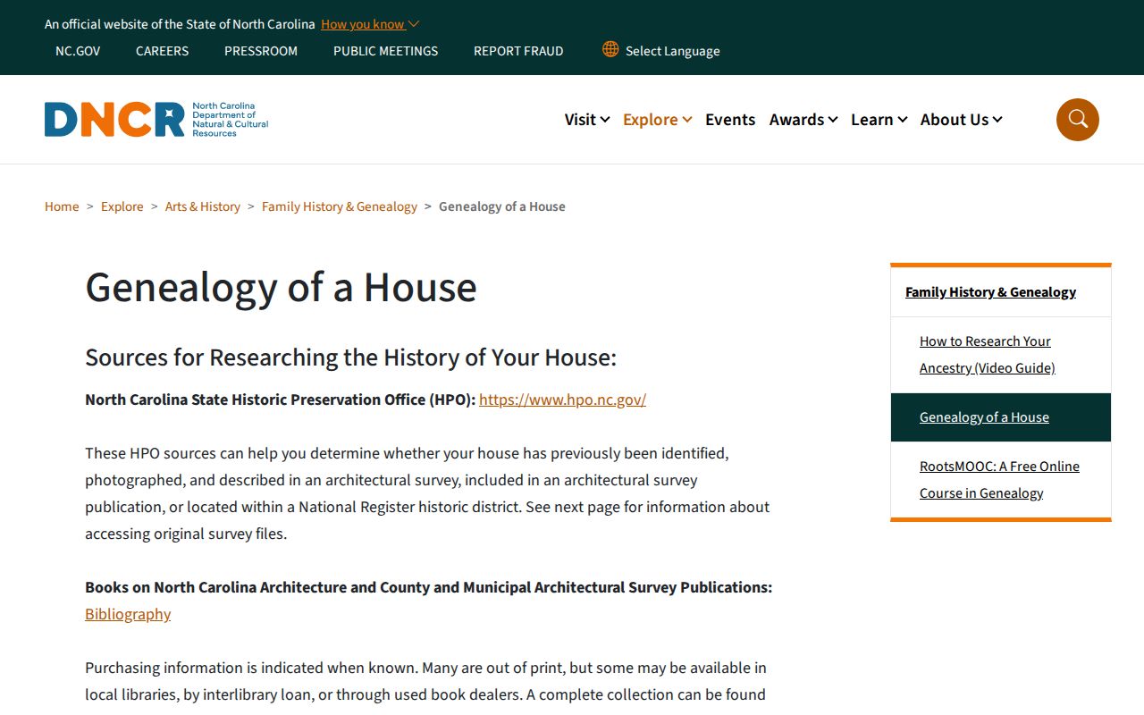
North Carolina DNCR's Genealogy of a House guide connects deeds, directories, maps, Wake real-estate records, and historic-property surveys. Survey files from the State Historic Preservation Office have existed since the early 1970s and can include photographs, sketches, interviews, field notes, and research notes. They can supply building context, but they do not by themselves prove a complete list of past residents.
The State's house-history route is shown in this DNCR guide.
Garner's own permit evidence has two eras. The legacy Permit and Inspection Lookup is for permits issued before February 2024. Garner SmartGov handles newer applications, inspections, comments, and certificates. Search by address or permit number in the appropriate era, and distinguish an application from an issued permit or final approval.
Note: Permit records can date physical work or an application, but they do not establish every occupant of a Garner address.
Garner's 1974 Record Gap
Garner's town history reports that a fire destroyed Town Hall and most town records on April 18, 1974. That loss can explain an uneven municipal permit, register, or minute file. It does not erase a Wake deed, county court file, state record, newspaper, directory, cemetery source, or archival series for the same address.
When a town file is absent, cross-route the question to Wake ROD, the Wake Clerk, the State Archives, newspapers, Olivia Raney, historic surveys, and surviving Town Clerk material. The town history also places municipal Recorder's Court offices downtown from 1953 to 1968, another reason to keep county and archive channels in a research log.